

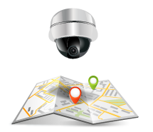
Plan Manager / Map-based command and control
- Plan Manager is a Security Center module that offers a two-way mapping feature to provide a more visual representation of the security environment. Through Plan Manager, which offers intuitive situational awareness and improved security management, operators can dynamically explore facilities and intuitively manage cameras, doors, intrusion devices, and other security systems.
-


Enhanced visibility security environment
Features provided :

To provide a more intuitive representation of objects and devices within a facility on a map, users can upload custom images. Additionally, users can customize animations for objects and devices based on their status by adjusting transparency, blink rate, and color.

It provides quick access to system information and improved event notifications and status through accurate representations of security entities within an integrated map environment.

Flexible map configuration
It can load various formats including GIS data, CAD files, and images for both generic and individual maps. For detailed and accurate maps, security devices and objects can be easily dragged and dropped onto the map.

Dynamic object definition:
To provide a more intuitive representation of objects and devices within a facility on a map, users can upload custom images. Additionally, users can customize animations for objects and devices based on their status by adjusting transparency, blink rate, and color
Tool support for rapid response
Beyond basic mapping functions, Plan Manager offers a variety of options for managing system notifications. It provides enhanced map exploration tools and can be integrated with predefined security zones to send immediate alerts to operators in case of threats or incidents.
Features provided:

Integration of security devices and operational tasks
All entities registered in the Security Center, such as cameras and doors, can be represented as images on a map. This allows for integration with operational tasks like displaying cameras within tiles and locking/unlocking doors.

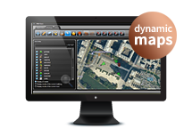
Dynamic map exploration
Plan Manager supports more convenient exploration using dynamic maps created with multi-scale (zoom) technology, providing higher quality visibility.

Immediate event notification

Unified alarm management
You can directly navigate to the corresponding zone map location from an active alarm without the need to search for the alarmed entity in a separate list.
[/tab_content]
Option : Immersive Map
Immersive Map provides a virtual environment based on real-world digital images of your facility, enhancing Plan Manager’s capabilities. It can also be used as a standalone product. Leveraging the Security Center Omnicast feature, our 4D visualization engine delivers high-quality, immersive views of your facility using high-resolution digital images. Immersive Map is also used to record the physical layout of facilities, enabling rapid onboarding for new operators and faster emergency response preparation.
Features provided :

Faster search
Operators can easily navigate facilities with simple keyboard or mouse clicks. Using reference points within the Immersive Map view, they can quickly jump to desired locations at any time.

High-quality 4D view/strong>
Operators can benefit from immersive 4D views when making facility changes, such as building renovations. This provides a more accurate and complete view of the facility.

Immersive 학습
You can quickly learn the layout of any website without actually visiting it.

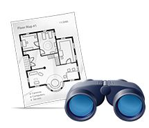
Emergency planning and management
Immersive maps can be used as a valuable reference for future facility layout records. This will be a critical component for the emergency planning team. In emergency situations, the team can access both live and recorded footage from the Security Center, alongside dynamic graphic maps within the Plan Manager, and explore the building and its floors using the immersive map.
[/tab_content]
Main functions
- Immersive mapAs an optional feature, high-quality digital images of the facility provide a 4D immersive view. This immersive map can be easily viewed and navigated within any web browser or the Security Center.

- Video device integrationPlan Manager enables full operation of all video-related functions, including Field-of-View (FOV) management, PTZ (Pan-Tilt-Zoom) control, and an intuitive tile display for easier navigation and control. This enhances situational awareness and simplifies video monitoring within the security system.
- Access control integrationPlan Manager allows for direct management of all access control actions, such as door status monitoring and lock/unlock actions, directly from the map interface. This streamlines access control operations and enhances the overall security management process.

- Dynamic map navigationMulti-layer maps support zooming in and out of facilities, enabling flexible navigation. This feature allows users to easily explore different levels of detail for more effective monitoring and management.
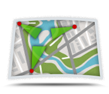
- hot-spotYou can create hotspot locations that link multiple cameras within a specific area. Hotspots allow you to manage areas on the map that require enhanced actions and interactions, providing better control over critical zones.
- map editorYou can import various map formats such as GIS data, CAD files, and image files as general or individual maps. Additionally, security devices and objects can be easily positioned on the map using a drag-and-drop interface.

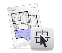
- Lasso toolThe Lasso tool allows you to quickly and simultaneously retrieve information about selected security devices within a specific area.
Plan Manager Software Package
Plan Manager offers different packages that can be selected based on the scale of the deployment, with the option to upgrade in the future.
-
Plan Manager Basic
Plan Manager Basic supports dynamic maps for video and access control, as well as image-based maps.
-
Plan Manager Standard
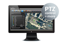
Plan Manager Standard supports all basic features and additionally provides vector-based maps (PDF), alarm management, PTZ control, Field-of-View (FOV), and custom entity status settings.
-
Plan Manager Advanced
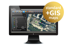
Plan Manager Advanced supports all standard features and additionally offers GIS map integration and custom object functionality.